


"That risk of thundershowers is going to be there for pretty much the entire Metro Vancouver area."
While Vancouver's summer has been relatively calm so far, there could be a bit more drama in the sky over the next 36 hours. A low-pressure system is moving up from the Washington/Oregon coast, and it's bringing showers and a chance of lightning. "It'll be warm but also kinda wet at the same time," says Environment Canada meteorologist Colin Fong.
The system is expected to arrive in Metro Vancouver tonight, July 15, and move through the area on Thursday and Friday. From Wednesday night to Thursday evening, Fong says there's an outside chance of thundershowers, with lightning and heavier rain in an isolated area. Thunder and lightning "That risk of thundershowers is going to be there for pretty much the entire Metro Vancouver area," says Fong.
"The conditions are favourable to see a thunderstorm; the chances are likely to be there for the majority of the day." Thunderstorms aren't often seen in Vancouver, but are more common in the Interior; this system is headed to the Interior after Vancouver. "This week, we’re expecting a shift in the weather that could bring storm cells with dry lightning and heightened winds to parts of the southern and central Interior," reads a post by the BC Wildfire Service.
It's also somewhat unusual that the risk of a thunderstorm starts at night and runs through the day. "For Vancouver, typically for thunder showers... that tends to happen late in the day because it really needs the sunlight," says Fong. "Sunlight typically fuels these storms."
"In this situation, it's not so much the sunlight, it's the actual weather system itself," he continues. "That's what we're seeing overnight tonight." Precipitation and wind While the chance of thunderstorms isn't certain, what is certain are the showers.
The system is expected to bring 5 to 10 mm to most areas of Metro Vancouver through Thursday. "We're not really looking at really heavy amounts; having said that, a thundershower could bring localized heavy rainfall," says Fong. Those downpours would be in highly localized areas for a short time.
While the risk of thunderstorms ends Thursday evening, Friday will likely see lighter showers throughout the area. By Saturday, clouds are still expected, but the showers are forecast to have mostly moved on. Throughout the storm, Fong doesn't expect wind to be a big issue.
Temperatures While the stormy weather will break the hold warm temperatures have had on the region, it won't get too cool. A low of 16 C is expected on Wednesday, Thursday and Friday nights. Daytime highs will remain in the low 20s through to the weekend as well.
Fong notes that after the system moves on a ridge of high pressure is expected to reform over the region, and early next week could see above-average temperatures for Metro Vancouver.
- Published
- Jul 15, 2026
- Updated
- Jul 15, 2026
- Source
- Burnaby Now
- Category
- Top
- City
- Vancouver
- Read time
- 2 min
Key facts
Why this matters locally
This top story matters locally because it may affect readers, businesses, commuters, families, or public services in Vancouver.
Local impact
BC Post links this item to Vancouver coverage so readers can follow related city updates, weather, traffic, events, and category news in one place.
Timeline
Source and credit
BC Post may summarize, organize, and add local context for reader clarity. Original reporting remains with the listed publisher.
Related Articles
View all Top
Rock the Lake celebrated its ninth year at Prospera Place this past weekend
Top
Rock the Lake celebrated its ninth year at Prospera Place this past weekend
 Local News
Lions earn first win by handing Elks their first loss in 36-24 decision
Local News
Lions earn first win by handing Elks their first loss in 36-24 decision
 Local News
Consumer watchdog secures 4 ticketing undertakings during World Cup
Local News
Consumer watchdog secures 4 ticketing undertakings during World Cup
 Sports
Thoughts turn to legacy as full-time whistle nears for Vancouver's World Cup
Sports
Thoughts turn to legacy as full-time whistle nears for Vancouver's World Cup
 Business
B.C.'s Massey Tunnel replacement doubles in cost to estimated $8.5 billion
Business
B.C.'s Massey Tunnel replacement doubles in cost to estimated $8.5 billion
 Top
Million-dollar contract awarded for Surrey Sport & Leisure Complex renos
Top
Million-dollar contract awarded for Surrey Sport & Leisure Complex renos
More From Vancouver
View all Top
Vancouver daycare avoids eviction from church hall — but only until year's end
Top
Vancouver daycare avoids eviction from church hall — but only until year's end
 Business
'We know we're a little crazy': Sisters turn spontaneous idea into downtown Vancouver cafe
Business
'We know we're a little crazy': Sisters turn spontaneous idea into downtown Vancouver cafe
 Top
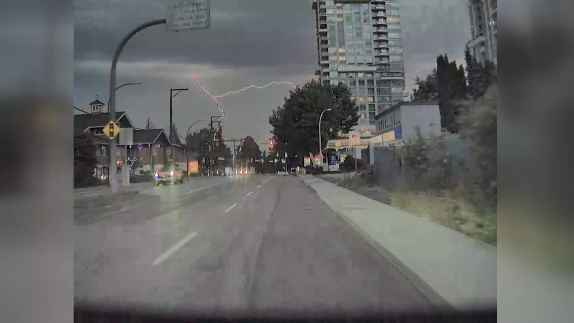
Lightning hits homes on Vancouver Island as storm swept across region
Top
Lightning hits homes on Vancouver Island as storm swept across region
More Local Coverage
Latest news Business
AI Market Trends: Q2 2026 Review and Forecast
Business
AI Market Trends: Q2 2026 Review and Forecast
 Politics
Powerful pro-life ad featuring boxing legend to air during final World Cup matches
Politics
Powerful pro-life ad featuring boxing legend to air during final World Cup matches