


Hot and humid conditions dominate today across the Sault region as an impressive heat dome remains firmly in control. Temperatures will soar to 29°C this afternoon with muggy conditions throughout the day. West-northwest winds will be noticeable at
Hot and humid conditions dominate today across the Sault region as an impressive heat dome remains firmly in control. Temperatures will soar to 29°C this afternoon with muggy conditions throughout the day. West-northwest winds will be noticeable at 15km/h with gusts up to 35km/h this afternoon, providing only brief relief from the heat.
Skies will trend from partly cloudy this morning to mostly sunny through the afternoon hours, allowing maximum heating. Temperatures will drop to 16°C overnight under partly cloudy skies as the oppressive heat dome finally begins to retreat southward. Tomorrow brings noticeable relief from the intense heat, with high temperatures only reaching 27°C, though this forecast is highly uncertain due to the expected arrival of wildfire smoke from Ontario.
Increasingly hazy skies are anticipated as smoke concentrations ramp up both aloft and near the surface, potentially reducing visibility at times and limiting afternoon heating more than currently forecast. Skies will be mostly cloudy through the day, with west-northwest winds lighter at 10km/h with gusts to 15km/h during the afternoon. Overnight lows will fall to 14°C under mostly cloudy skies, with continued hazy conditions likely.
Thursday will feature continued relief from the recent heat with high temperatures reaching 26°C under partly to mostly cloudy skies. The wildfire smoke issue may persist, though confidence in smoke concentrations and resulting visibility impacts remains uncertain this far out. Northwest winds will increase slightly to 15km/h with gusts to 30km/h during the afternoon hours.
Dry conditions are expected to continue through the day with partly cloudy skies. Overnight lows Thursday will drop to around 13°C under partly cloudy skies. As we head into late week, a pattern change is anticipated, with more active weather returning and the potential for scattered showers and thunderstorms as early as Friday and continuing through the weekend.
- Published
- Jul 14, 2026
- Updated
- Jul 14, 2026
- Source
- Sootoday
- Category
- Top
- Read time
- 1 min
Key facts
Why this matters locally
This top story matters locally because it may affect readers, businesses, commuters, families, or public services in British Columbia.
Local impact
BC Post links this item to British Columbia coverage so readers can follow related city updates, weather, traffic, events, and category news in one place.
Timeline
Source and credit
BC Post may summarize, organize, and add local context for reader clarity. Original reporting remains with the listed publisher.
Related Articles
View all Top
Rock the Lake celebrated its ninth year at Prospera Place this past weekend
Top
Rock the Lake celebrated its ninth year at Prospera Place this past weekend
 Top
Million-dollar contract awarded for Surrey Sport & Leisure Complex renos
Top
Million-dollar contract awarded for Surrey Sport & Leisure Complex renos
 Top
MLA Jordan Kealy to face jury in sexual assault case
Top
MLA Jordan Kealy to face jury in sexual assault case
 Top
BCWS aircraft helping Kamloops firefighters battle grass fire above Shuswap Road
Top
BCWS aircraft helping Kamloops firefighters battle grass fire above Shuswap Road
 Top
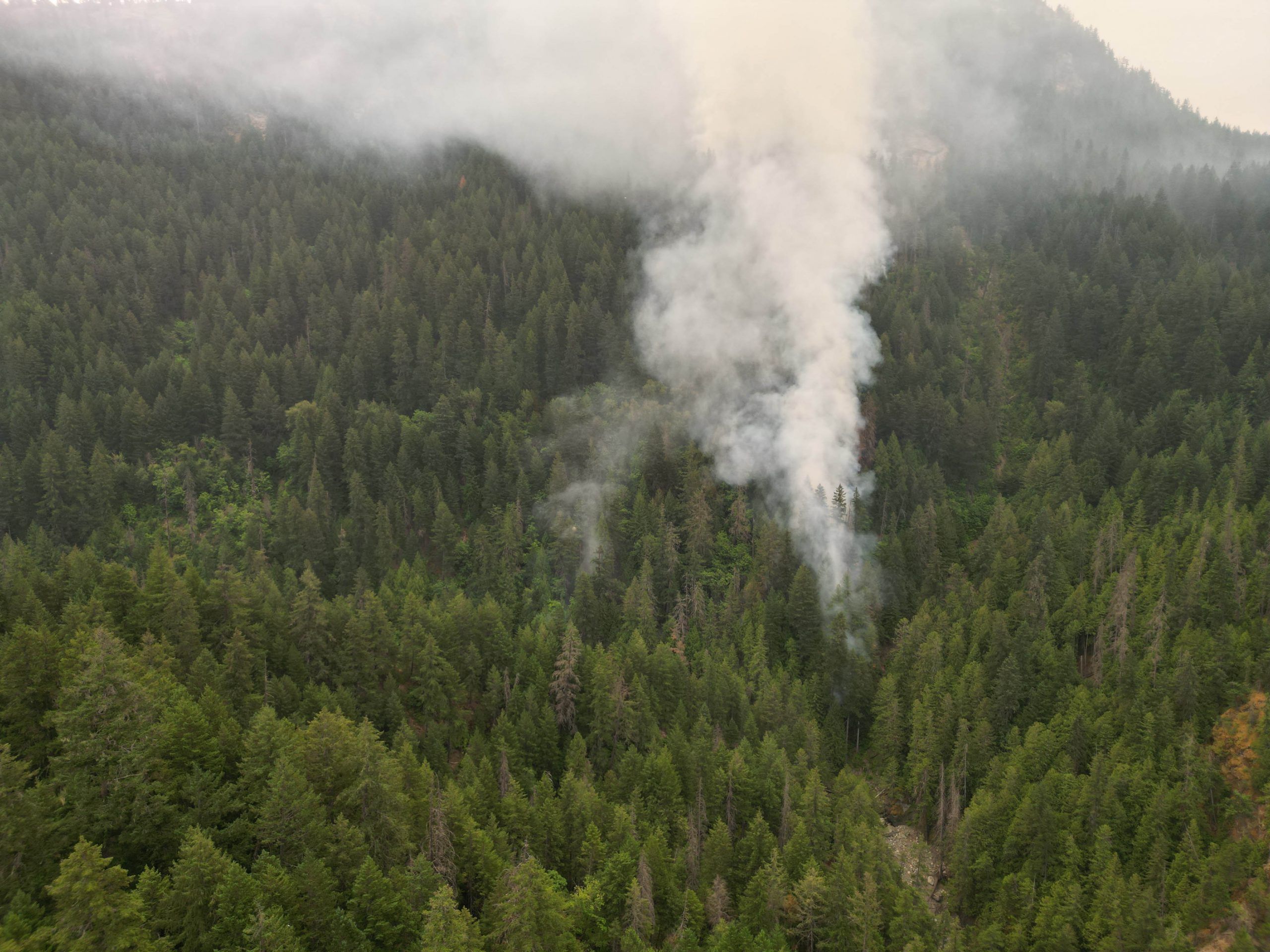
Brunswick Creek wildfire grows, leads to air quality warning in east Fraser Valley
Top
Brunswick Creek wildfire grows, leads to air quality warning in east Fraser Valley
 Top
'A sacred place': Delta park to get dedicated ash-scattering site
Top
'A sacred place': Delta park to get dedicated ash-scattering site
More Local Coverage
Latest news Business
AI Market Trends: Q2 2026 Review and Forecast
Business
AI Market Trends: Q2 2026 Review and Forecast
 Politics
Powerful pro-life ad featuring boxing legend to air during final World Cup matches
Politics
Powerful pro-life ad featuring boxing legend to air during final World Cup matches