


Wildfire smoke, ozone and oppressive humidity are creating unhealthy air quality across northern Illinois, while heat index values approach 100 degrees
Smoke from Canadian wildfires is expected to create unhealthy air quality across parts of northern Illinois on Thursday, while heat and humidity continue to push heat index values close to 100 degrees in many inland communities. The National Weather Service and Illinois Environmental Protection Agency have declared an Air Pollution Action Day for Thursday, warning that elevated ozone and wildfire smoke could lead to unhealthy air quality through at least Thursday night. The greatest impacts are expected across portions of northern Illinois and northwest Indiana.
Forecasters said a plume of wildfire smoke moved into the region overnight, with haze already reducing visibility near Lake Michigan early Thursday. Additional smoke is expected to spread westward through the day, with another surge possible Thursday evening into Friday morning. Residents are encouraged to reduce prolonged or strenuous outdoor activity, while people in sensitive groups – including children, older adults and those with asthma or other respiratory conditions – should avoid extended time outdoors or move activities inside if possible.
Despite the smoky skies, temperatures will remain well above normal. Highs are expected to reach the upper 80s to lower 90s inland, with heat index values approaching 100 degrees south and west of a Rockford - Aurora -Kouts, Indiana, line. Communities along Lake Michigan will be noticeably cooler, with highs in the lower 80s thanks to onshore winds and a lake breeze.
A few isolated thunderstorms could develop Thursday afternoon, mainly along a corridor from Rockford through Joliet into northwest Indiana. While severe weather is not expected, any storms that form could produce brief gusty winds and heavy downpours. The weather service also said a few funnel clouds cannot be ruled out because of favorable atmospheric conditions, though the risk remains low.
More widespread showers and thunderstorms are expected Friday as tropical-level moisture moves into the region, increasing the threat of heavy rainfall and localized flooding. Hot and humid conditions will continue into Saturday before a cold front brings another chance for storms, followed by more comfortable temperatures and lower humidity on Sunday.
- Published
- Jul 16, 2026
- Updated
- Jul 16, 2026
- Source
- Shaw Local
- Category
- Top
- Read time
- 2 min
Key facts
Why this matters locally
This top story matters locally because it may affect readers, businesses, commuters, families, or public services in British Columbia.
Local impact
BC Post links this item to British Columbia coverage so readers can follow related city updates, weather, traffic, events, and category news in one place.
Timeline
Source and credit
BC Post may summarize, organize, and add local context for reader clarity. Original reporting remains with the listed publisher.
Related Articles
View all Top
Rock the Lake celebrated its ninth year at Prospera Place this past weekend
Top
Rock the Lake celebrated its ninth year at Prospera Place this past weekend
 Top
Million-dollar contract awarded for Surrey Sport & Leisure Complex renos
Top
Million-dollar contract awarded for Surrey Sport & Leisure Complex renos
 Top
MLA Jordan Kealy to face jury in sexual assault case
Top
MLA Jordan Kealy to face jury in sexual assault case
 Top
BCWS aircraft helping Kamloops firefighters battle grass fire above Shuswap Road
Top
BCWS aircraft helping Kamloops firefighters battle grass fire above Shuswap Road
 Top
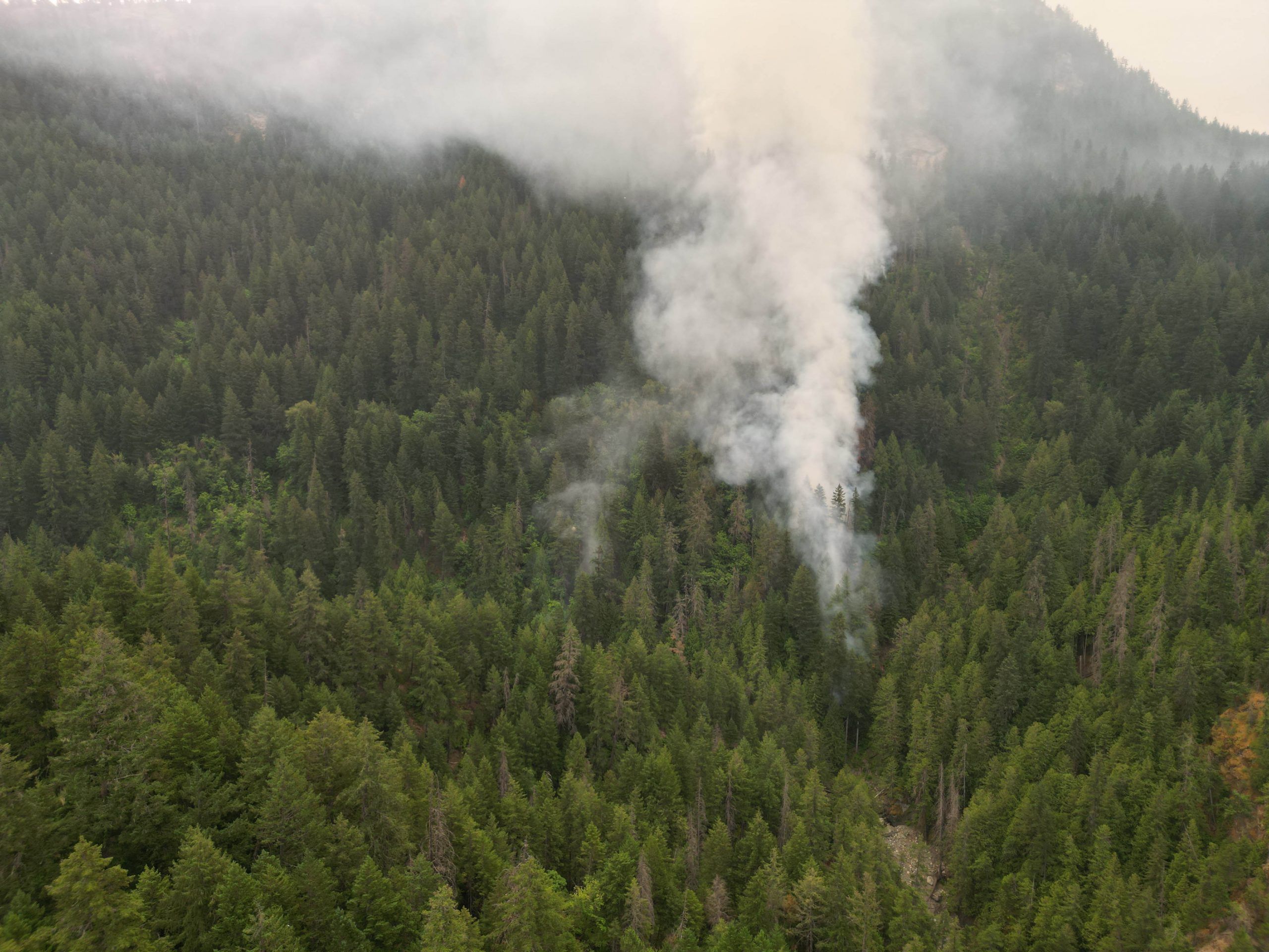
Brunswick Creek wildfire grows, leads to air quality warning in east Fraser Valley
Top
Brunswick Creek wildfire grows, leads to air quality warning in east Fraser Valley
 Top
'A sacred place': Delta park to get dedicated ash-scattering site
Top
'A sacred place': Delta park to get dedicated ash-scattering site
More Local Coverage
Latest news Business
AI Market Trends: Q2 2026 Review and Forecast
Business
AI Market Trends: Q2 2026 Review and Forecast
 Politics
Powerful pro-life ad featuring boxing legend to air during final World Cup matches
Politics
Powerful pro-life ad featuring boxing legend to air during final World Cup matches